Fast • Mobile-friendly • Bangla/English
District logo
Tiptop
Division
Tiptop
Connect
Buy & Sell
Sign inJoin/Signup
District logoTiptop
ConnectBuy & Sell
InstitutesExplore placesJobPrivate Tution
Citizen UpdateLIVENews UpdateVideo News
Sign inJoin/Signup
  1. Home
  2. Explore places
Loading...

Loading...

Tiptop Division

Places, people, info, job & marketplace of your district

Quick Links

  • About Us
  • Contact Us
  • Technical Stack
  • Services

Legal

  • Privacy Policy
  • Terms Of Service
  • Disclaimer

© 2026 Tiptop Division. All Rights Reserved

♥Built For People of your Division

Panchagarh Sadar, Panchagarh

Haribhasa Union

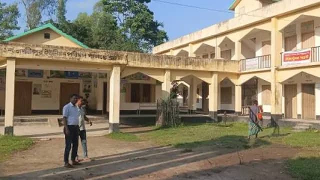
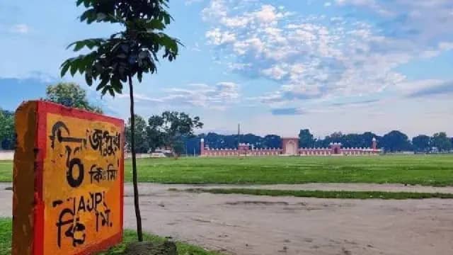
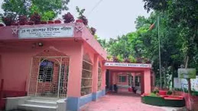
Haribhasa Union, located in the northwest of Sadar Upazila in Panchagarh district, is like a calm and serene canvas of nature. Developed in the basin of the Karatoya River, this settlement is known for its fertile land and vast green fields. Geographically bordering India, this union experiences the cool climate of the Himalayan foothills, which creates a unique fairytale atmosphere with its foggy mornings and chilly breezes during winter. The simple lifestyle of the locals and the dirt paths winding through the vast crop fields offer visitors a unique sense of tranquility. Traditionally, Haribhasa is admired for its agriculture and rural heritage. Notable sights here include the area adjacent to the Union Parishad and the natural scenery along the banks of the Karatoya River. Especially during the monsoon season, the vibrancy of the river and the lushness of the crop fields captivate tourists. Recently, like other regions of Panchagarh district, Haribhasa has also seen touches of modern agricultural systems and infrastructural development, which are dynamizing the local economy. The name 'Haribhasa' has historically been a symbol of trust for the people of this area. Although there are no grand structures here, the hospitality of the people and the earthy environment are the greatest assets of this region. This quiet union in the border area is now moving forward, connected to the highway of development.
00
Ghoraghat
Ghoraghat, Dinajpur

Ghoraghat

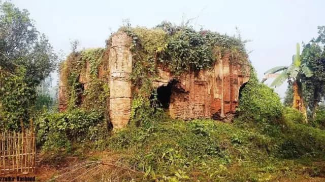
Ghoraghat Upazila, located at the southeastern edge of Dinajpur district, has developed on the banks of the Karatoya River. Although it is administratively part of Dinajpur district, geographically it is an important settlement bordering Gaibandha and Joypurhat districts. This upazila was once the focal point of the prosperous 'Ghoraghat Sarkar' or administrative region. The terrain here is primarily flat and rich in alluvial soil, which is highly suitable for agriculture. The history of this region is quite ancient, and during the Sultanate and Mughal periods in the Middle Ages, it was known as a strategic military and administrative base. One of the historical landmarks of Ghoraghat is the 'Ghoraghat Fort,' built in the architectural style of the Sultanate period, along with various ancient mosques that bear witness to its heritage. Additionally, the natural environment along the banks of the Karatoya River attracts travelers. In modern times, this upazila is gaining recognition for its delicious mangoes and agricultural products. Historically, there is a popular belief that this region was also associated with Isa Khan, one of the heroic Baro-Bhuiyans of Bengal. Currently, alongside administrative activities and development, the upazila is working tirelessly to promote education and culture, playing a significant role in the overall development of Dinajpur district.

00
Kochasahar Union
Gobindaganj, Gaibandha

Kochasahar Union

Kochashahar Union is the name of a tranquil settlement flowing through the heart of Gobindaganj Upazila in Gaibandha district. Developed in the basin of the Karatoya and Bangali rivers, this area is well-known for its fertile alluvial soil and rural heritage. Often referred to by its name 'Kochashahar' in local parlance, the region carries the legacy of its ancient geographical significance. Located at the heart of this union, the 'Kochashahar Hat' serves as the primary driver of the local economy, where local agricultural products and handicrafts converge. Although the lifestyle here was shaped by a riverine environment, it is now advancing in pace with education and technology under the touch of modernity. Traditionally, this region is particularly known for its cultural and political awareness. Among its notable landmarks, local rural architecture and some ancient mosques and monasteries attract the attention of history enthusiasts. The pride of this settlement lies in its enlightened people; in particular, the contribution of the people of this region in the context of the Language Movement and the Liberation War is undeniable. Furthermore, many local luminaries have dedicated themselves to education and social service, elevating Kochashahar to a prestigious position on the map of Gaibandha. With the passage of time, Kochashahar is no longer just an administrative union, but an inseparable blend of a rich history and a promising future.

00
Dharla River
Kurigram Sadar, Kurigram

Dharla River

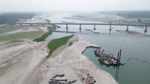
The Dharla River is a transboundary river between Bangladesh and India. The identification number given to the Dharla River by the Bangladesh Water Development Board or "PAUBO" is River No. 59 of the North-Western Region. Flow Origin: The river, known as Jaldhaka or Shingimari, flows through Jalpaiguri and Cooch Behar in West Bengal and enters Bangladesh through Patgram in Lalmonirhat district. After entering, the river re-enters India near Patgram police station and flows eastwards and takes a sudden turn to enter Bangladesh through Kurigram district. This transboundary river between Bangladesh and India joins the Jaldhaka River and merges with the Brahmaputra River near Kurigram, originally known as Dharla. Description: The length of the Dharla in the Bangladeshi part is 75 kilometers. Its average depth is 12 feet or 3.7 meters and the maximum depth in Kurigram is 39 feet or 12 meters. The longest road bridge in North Bengal is located on this river. The 950-meter-long PC girder bridge was inaugurated in 2018 as the 2nd Dharla Bridge/Sheikh Hasina Dharla Bridge. Tributaries There is a tributary of Dharla named Nilkumar flowing through Phulbari police station. River erosion In 2007, the Dharla River and the Jamuna River breached, causing 2 kilometers of the 7-kilometer-long flood control embankment in Kurigram to disappear into the riverbed. This resulted in the loss of three mosques, two temples, a madrasa, a primary school, and crops and arable land. More than 3,000 people were left homeless. See also List of rivers in Bangladesh Major rivers of Bangladesh List of rivers in West Bengal Inter-border rivers Jaldhaka River Sources External links

00
Laxmipur Union
Gaibandha Sadar, Gaibandha

Laxmipur Union

Lakshmipur Union, located within Gaibandha Sadar Upazila, is a fertile region washed by the Karatoya and Ghaghat rivers. Due to its geographical proximity to Gaibandha town, it holds significant importance in terms of administration and commerce. Agriculture is the backbone of the economy in this flat-land union, where various winter crops are cultivated extensively alongside rice and jute. Being a riverine area, the natural scenery here becomes quite picturesque during the monsoon season. Several mosques and rural markets have developed in the union, serving as hubs for the religious and social bonding of the local community. Among the notable establishments here, Lakshmipur Multilateral High School is one, which has been playing a vital role in the region's education system for a long time. Additionally, various locally known rural infrastructures and green crop fields enhance its beauty. It is worth noting that the people of this region have made special contributions to the cultural and political arena of greater Gaibandha. For the convenience of administrative work, it is recognized as an integral part of Gaibandha Sadar Upazila.

00
College mor (Lichu Square)
Dinajpur Sadar, Dinajpur

College mor (Lichu Square)

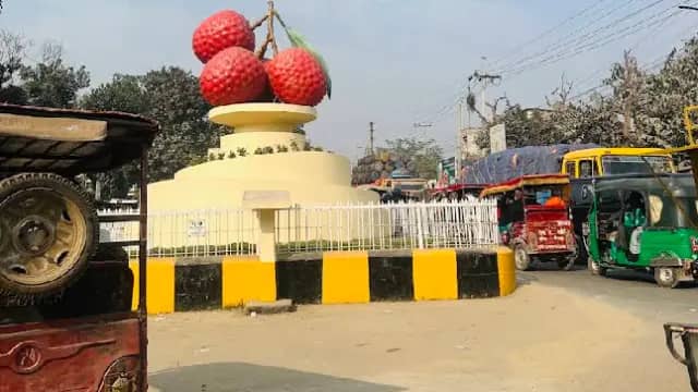
Known as the heart of Dinajpur city, 'College Mor' is like a ceaseless pulse. The area, which serves as the city's lifeline, has been aptly named for its development around Dinajpur Government College. On one hand, it possesses the scholarly atmosphere of a traditional educational institution, while on the other, it is recognized as the city's busiest commercial hub. The rows of bookstores, cafes of all sizes, and the lively chatter of locals surrounding the intersection give it a unique character. Its geographical location is such that it connects the city's main roads to one another, ensuring the area never sleeps, with the constant movement of people and vehicles from dawn until late at night. A blend of history and tradition, the College Mor area is like a mini version of Dinajpur. Notable landmarks here include the century-old Dinajpur Government College, which is not just an educational institution but the cradle of the district's cultural and political movements. Nearby are the Shilpakala Academy and important offices of various government departments. To the locals, this area is also known as the 'Addar Mor' (a hub for socializing), where the crowd of the younger generation and the aroma of street food in the afternoon make the atmosphere incredibly vibrant. Recently, the intersection has undergone widening and modernization, bringing convenience to the city dwellers. All in all, College Mor is not just a geographical location; it is an integral part of the emotions and daily lives of the people of Dinajpur.

00
Raiganj Union
Nageshwari, Kurigram

Raiganj Union

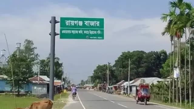
Raiganj Union is an important administrative region of Nageshwari Upazila in Kurigram district. Geographically, it is situated in the basin of the Dudhkumar River and the adjacent lowlands, known as an agriculture-based settlement. Although the union has no alternative name, it is locally considered one of the most populous areas of Nageshwari. It is located about 25-30 kilometers from Kurigram district town, and can be easily reached by road via Nageshwari using buses or CNGs. While there are no notable tourist attractions in the area, the peaceful environment of the rural settlement and the vast crop fields are its main features. The local markets are the hub of social and economic activities here. There is no significant information available regarding the birth or permanent residence of any nationally famous personality in this union. Overall, Raiganj Union is a typical yet vibrant settlement of Nageshwari, which has primarily developed based on agriculture and local trade.

00
Dinajpur Zero Point
Dinajpur Sadar, Dinajpur

Dinajpur Zero Point

The area known as the heart or zero point of Dinajpur city primarily revolves around the 'Modern Mor' or 'Jail Road Mor'. Located in the Dinajpur Sadar Upazila, this bustling area serves as the city's main commercial and administrative hub. Geographically, it is situated on the flat plains of the Ghagra River basin, which is historically part of the Barind region. Within a short distance from the zero point are the Deputy Commissioner's office, the Superintendent of Police's office, and the Dinajpur Municipality, making the area the focal point of administrative activities. Additionally, major shopping destinations such as Boro Bazar, Maldahpatti, and modern shopping malls have developed around this point. Notable landmarks in the area include the traditional Dinajpur Rajbari (which, despite being at some distance from the Kantajew Temple, remains a part of the city's heritage), Dinajpur Government College, and the historic Gore-e-Shahid Baro Maidan, well-known as the largest Eidgah field in Asia. Due to the frequent movement of people, locals refer to this area as the 'heart' of the city. As part of recent modernization efforts for Dinajpur city, the zero point and its adjacent roads have been widened and illuminated, making the city's nighttime landscape much more vibrant. To the local people, this area is a familiar hub for social gatherings and business, where a blend of traditional heritage and modern civic life can be observed.

00
Paltapur Union
Birganj, Dinajpur

Paltapur Union

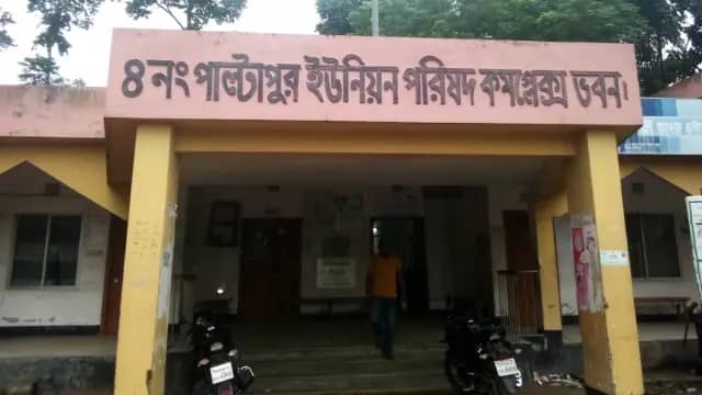
Paltapur Union is a calm and serene settlement flowing through the heart of Birganj Upazila in Dinajpur. Geographically, it is situated in the basin of the Atrai River, where the camaraderie between green crop fields and the horizon creates a unique canvas of nature. Just as the soil here is fertile, the hearts of the people are simple and sincere. To the locals, this region is well-known for its unique agricultural heritage and rural traditions. Along the paths of the area, one will notice the bends of the Atrai and rows of vast paddy fields, which bring a strange sense of peace, making one forget the weariness of urban life. Paltapur Bazar, known as the heart of Paltapur, is where the pulse of the rural economy is felt through daily trade and the bustle of people. The imprint of tradition is evident in the lifestyle of the people here; especially in the local markets, the remnants of the social bonding of olden days still remain. As spiritual and educational establishments, the various mosques and educational institutions of the union serve as the social backbone of the area. Furthermore, the contributions of those who are working tirelessly in local development activities, alongside various agriculture-based initiatives in this part of Birganj, are undeniable. All in all, Paltapur is not just an administrative region, but a prosperous and promising settlement on the map of Birganj, moving forward at its own pace with the touch of modernity.

00

1010 results · page 1 of 113

…