

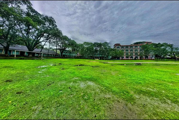
 Nageshwari
Nageshwari(Upazila)
Nageshwari Upazila, located in the north of Kurigram district, is an agriculture-dominated region through which the Dudhkumar and Brahmaputra rivers flow.
Nageshwari Upazila is a well-developed area or upazila in Kurigram district of Bangladesh. Naming The name of this area is Nageshwari according to the name of Nageshwari Beel. There are two opinions about the naming of this beel. It is said that Naga monks from far and wide used to come and worship in the temple located on the banks of Nageshwari Beel; hence the name of this beel is Nageshwari. Some also believe that different species of snakes or nagas such as Sheesh Nag, Kal Nag, Pankhiraj Nag, Dudh Nag etc. used to live in this beel; hence the name of this beel is Nageshwari. According to another group of researchers, there were many inns in this region during the Hindustani period. At that time, the area was well known as Nazih-i-Saray Nazahِ Saray or Resting Place of Wanderers. During the British rule, the name was changed/distorted to Nageshwari. Location and Area This upazila with an area of 415.80 sq km is bordered by Bhurungamari Upazila and West Bengal, India to the north, Kurigram Sadar Upazila to the south, Assam, India to the east, and Phulbari Upazila to the west. This upazila is located at 25 degrees 51 north latitude and 26 degrees 04 south latitude and is located at 89 degrees 06 and 89 degrees 53 east longitude. History and Background It is known that at one time this region was under the ancient Kamrup or pre-Jyotishpur kingdom. In 1206, the ruler of Gaur, Ghiyas Uddin Khilji, captured Kamrup. At that time, the Brahmaputra River valley, i.e. the entire Nageshwari, came under his control. Meanwhile, on the orders of King Mohammad Shah, his nephew Malik Khusru advanced to conquer China through the Brahmaputra River in Kurigram. But due to heavy rains, impassable roads and hilly terrain, he was attacked by the opposing party and despite having one lakh cavalry, he returned in failure... It includes 14 unions: Bamandanga, Berubari, Bhitarband, Ballabherkhas, Hasnabad, Kanchakanta, Kaliganj, Kedar, Narayanpur, Newashi, Nunkhawa, Raiganj, Ramkhana, Santoshpur.
Paved Roads: 72 km. Unpaved Roads: 1280 km. Total Cultivated Land: 75500 acres Cash Crops: Paddy, Jute, Wheat etc. Industrial Establishments: Shahera Auto Rice Mill
💬Comments(1)
কুড়িগ্রামের অন্যতম স্থান💙💙
✏️Leave a Comment